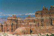
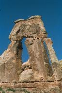
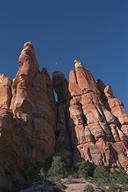
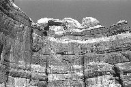
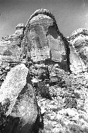
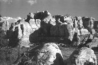
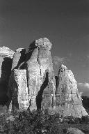
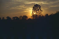
Canyonlands National Park, Needles DistrictI've made two backpacking trips to Canyonlands National Park, both in the Needles area. Both of these trips were absolutely spectacular. The first trip was unusually cold for March. Snow and sub-freezing temperatures are something I don't normally associate with the desert, but it made for a very interesting trip. | |||||
|
|
|
|||
 |
 |
 |
|||
 |
|
|
|||
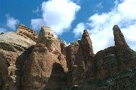
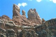
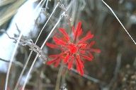
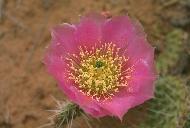
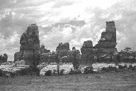
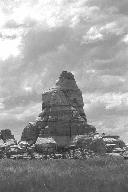
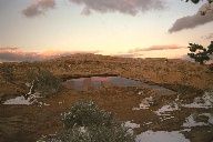
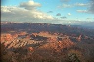
Canyonlands National Park, Needles DistrictThe second trip was made near the end of the useful backpacking season with temperatures reaching well into the 90s during the afternoon, a good time to lie under whatever shade a tree or rock face might provide. Water is at a premium during the summer months and having to walk five miles to find is normal in some areas. | |||||
|
|
|
|||
|
|
|
|||
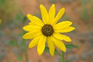
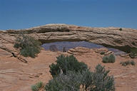
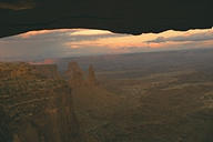
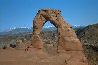
The Canyonlands of UtahIn addition to the Needles area, Canyonlands N.P. has two more districts, The Island in the Sky and The Maze which is very popular with off road vehicle owners. Also nearby to Moab are Arches National Park and a couple of nice state parks. | |||||
|
|
|
|||
|
|
|
|||
Other GalleriesClick on the pictures or text to see other galleries of natural photographs | ||
|
|
|
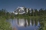
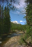
| Various other places | Photos from Washington and the Cascades | Photos of the Rocky Mountains |